Paso Robles Groundwater Basin
A critical water resource in San Luis Obispo County. Learn about basin conditions, the Fallowed Land Registry, and how voluntary participation supports sustainable groundwater management.
Basin at a Glance
Key geographic and administrative data defining the Paso Robles Area Groundwater Subbasin.
Geography
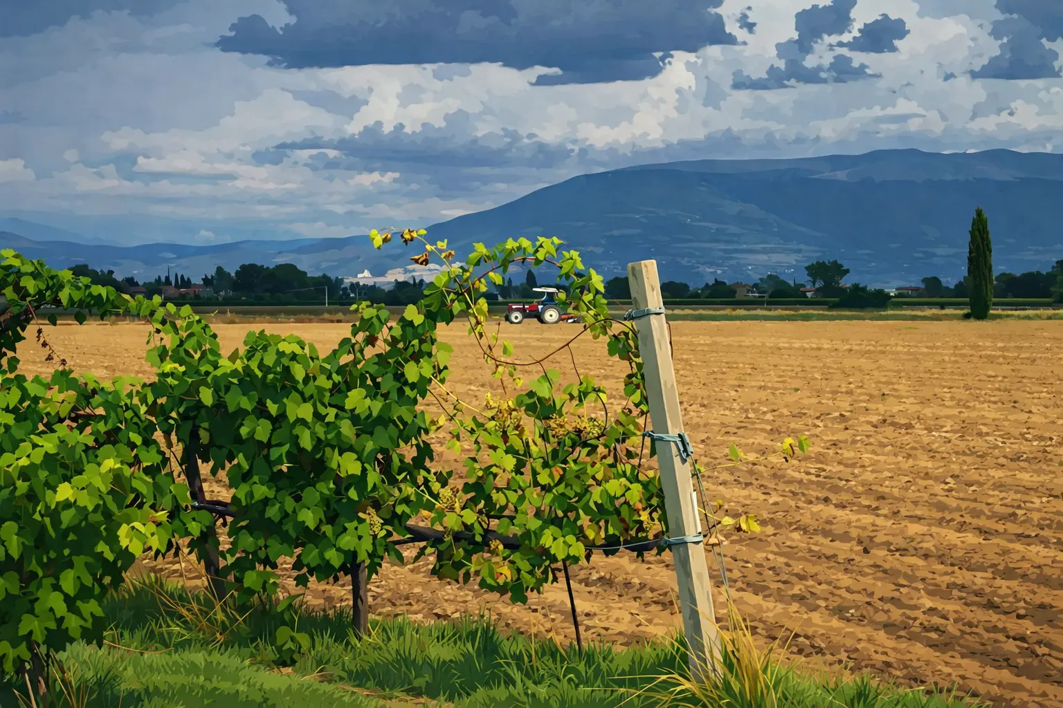
The Paso Robles Area Groundwater Subbasin (DWR Bulletin 118 Basin No. 3-004.06) covers approximately 436,000 acres (681 square miles) in northern San Luis Obispo County. It is bounded by the Santa Lucia, La Panza, Temblor, and Diablo Ranges.
Basin Status
Designated as a high-priority, critically overdrafted basin. Groundwater supplies 29% of the county's population and 40% of agricultural production. Some areas have seen declines exceeding 70 feet.
SGMA & GSP
Five GSAs collectively implement the Basin's Groundwater Sustainability Plan (GSP), approved by the DWR in June 2023. This plan outlines the pathway to long-term water reliability.
Sustainability Target
The Basin must achieve sustainable groundwater conditions by 2040. This involves balancing pumping with recharge to avoid chronic lowering of levels, land subsidence, and water quality degradation.
Agricultural Role
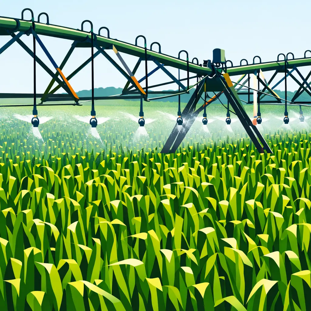
Commercial irrigated agriculture is a major groundwater user. Voluntary programs like the Fallowed Land Registry and MILR support basin balance and help the region move toward sustainability without mandatory pumping reductions.
How the Platform Supports the Basin
The Fallowed Land Registry and MILR Program work together to support voluntary groundwater sustainability in the Paso Robles Area Groundwater Subbasin.
Basin Resources & Data
Explore data sources, participating agencies, and the MILR guidebook.
Explore basin data and resources
Access ET data, precipitation, crop mapping, and groundwater levels—or learn how to enroll your land in the registry.